
UK rail network guide


Britain’s railway runs to around 15,850 km (9,850 miles) of track, calling at approximately 2,585 stations, and carries roughly 1.6 billion passenger journeys a year.
That’s a lot of network to picture in your head, which is exactly what a good train map is for, whether you’re planning a single journey or trying to understand how the country’s railway fits together. Here’s where to find the official maps, including live versions, and a guide to the main lines that connect the UK.
Where to find the official UK rail map
If you’d rather have something downloadable, National Rail also publishes two official static maps as PDFs: a principal route map, showing a simplified overview of the main lines, and an all stations route map, which covers every station and route in detail. Both are free to download and are updated periodically as the network changes.
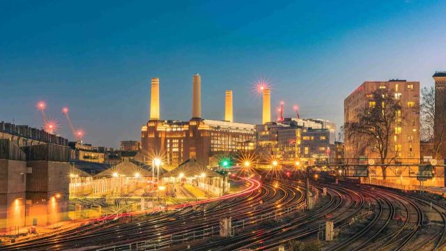
Is there a live UK train map?
Yes, and there are a couple of ways to get one, depending on what you need:
National Rail’s interactive route map now layers live departures directly onto the map itself.
For tracking specific trains in real time, including their current position between stations, dedicated tools built on Network Rail’s open data feeds are generally the most detailed option.
London train maps
‘London train map’ can mean a few different things, and it’s worth knowing which one you actually need:
- National Rail’s London and South East map covers the National Rail routes and stations across Greater London and the wider commuter belt, including the Network Railcard validity area.
London’s rail and Tube map is a combined map showing National Rail, London Underground, the DLR, and London trams together within Greater London and just beyond it, useful if your journey involves switching between the two networks.
The Tube map itself only covers the London Underground and doesn’t include National Rail services at all.
The UK’s main rail lines
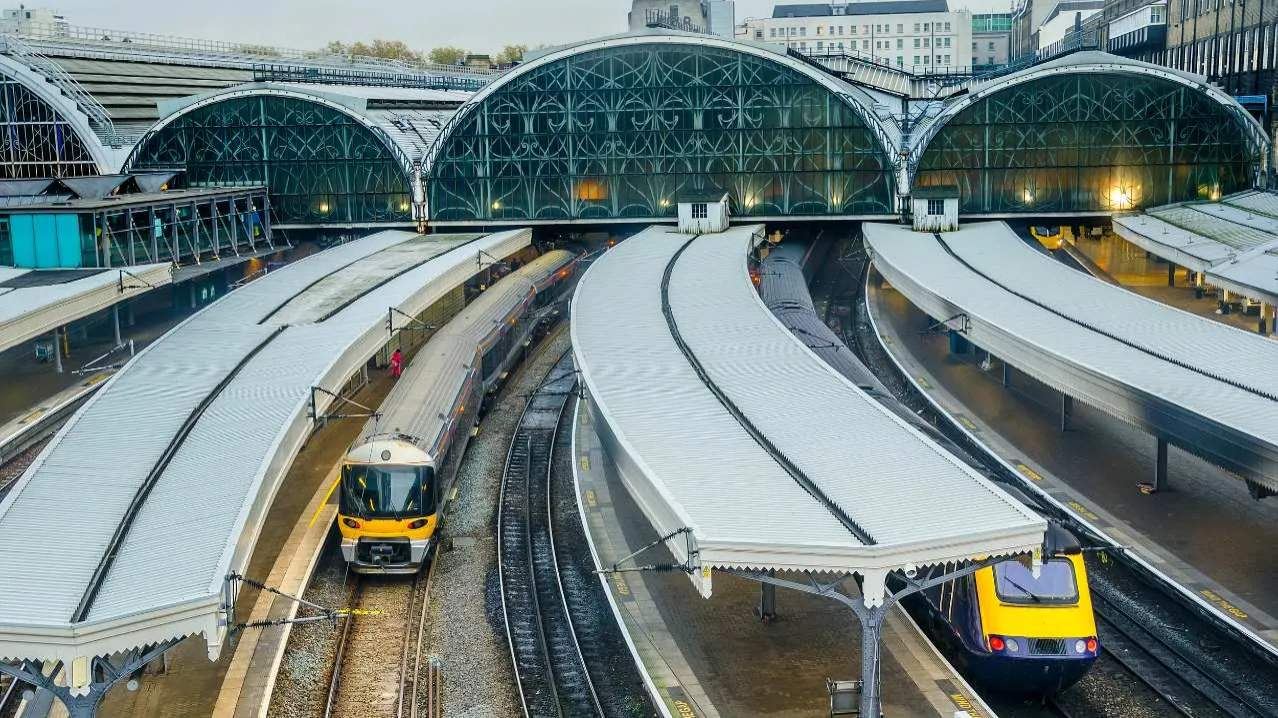
A handful of principal main lines carry most of the UK’s long-distance rail traffic, each radiating out from London or connecting major regional cities:
Rail line | Details |
|---|---|
Chiltern Main Line | Runs between London Marylebone and Birmingham via High Wycombe and Banbury, operated by Chiltern Railways. |
CrossCountry route | Rather than a single line, this is a network of long-distance services that avoid London altogether, linking the South West, Midlands, North, and Scotland directly. |
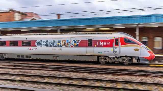
East Coast Main Line (ECML) | Runs from London King’s Cross north through York and Newcastle to Edinburgh, operated primarily by LNER. |
Great Western Main Line (GWML) | |
Midland Main Line | Connects London St Pancras to Leicester, Nottingham, and Sheffield, operated by East Midlands Railway. |
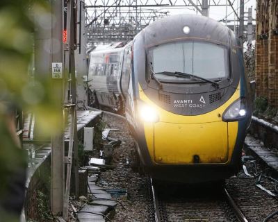
West Coast Main Line (WCML) | Connects London Euston to Birmingham, Manchester, Liverpool, and Glasgow, with Avanti West Coast running the principal long-distance services. |
 New user welcome pack
 -
5% OFF
Europe Train New User Promo Code

-
2% OFF
UK Train New User Promo Code
Who runs the UK rail network?
But that operator landscape is currently changing. Under the government’s Great British Railways programme, passenger operators are being brought into public ownership as their existing contracts expire, rather than all at once.
Those already transferred to public ownership:
UK rail network FAQs
How many train stations are in the UK?
There are approximately 2,585 stations across the rail network in Great Britain, and these are all operated by Network Rail.
How many miles of railway track are in the UK?
The network spans around 15,850 km (9,850 miles) of track, of which roughly 6,130 km (3,810 miles) is electrified. Again, this infrastructure is owned and operated by Network Rail.
How many train operating companies run UK rail services?
The number is falling as operators transfer into public ownership under Great British Railways, but currently around 20 companies - a mix of publicly and privately run - operate passenger services across the network.








- Where to find the official UK rail map
- Is there a live UK train map?
- London train maps
- The UK’s main rail lines
- Who runs the UK rail network?
- UK rail network FAQs
Related travel guides
 Updated: September 17, 2026
How to change your Railcard photo: Rules, steps and tips
 Updated: September 17, 2026
Railcard photo requirements: What you need to know?
 Updated: August 31, 2026
Eurostar check-in, security & passport control: New rules explained
 Updated: August 28, 2026
Can I break up my train journey to make a stop-off?
 Updated: August 28, 2026
How to use Live Train Departures and Arrivals on Trip.com
 Updated: August 27, 2026
What luggage can you take on the Eurostar?
 Updated: October 14, 2026
Are train seat reservations necessary in the UK?
 Updated: October 10, 2026
Train luggage - policies & allowance explained
 Updated: October 9, 2026
GroupSave tickets: How to earn discounts on group travel
 Updated: September 17, 2026
How much is a Railcard in 2026? Price increases explained
 Updated: September 17, 2026
Can you use a Railcard on the Eurostar?
 Updated: September 17, 2026
What restrictions does my Railcard have? Senior, Network and more
 Updated: September 17, 2026
Why is there no Railcard for those over 30? Alternatives & more
 Updated: September 17, 2026
Can you add a Railcard to Apple Wallet?
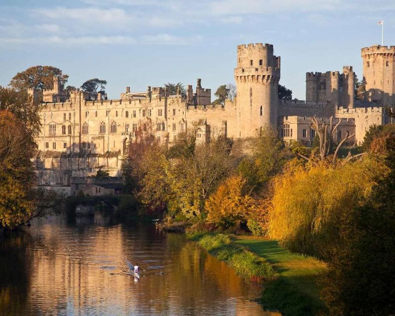




- Getting the train to Warwick Castle | Stations, Routes & FAQsPublished: October 15, 2026
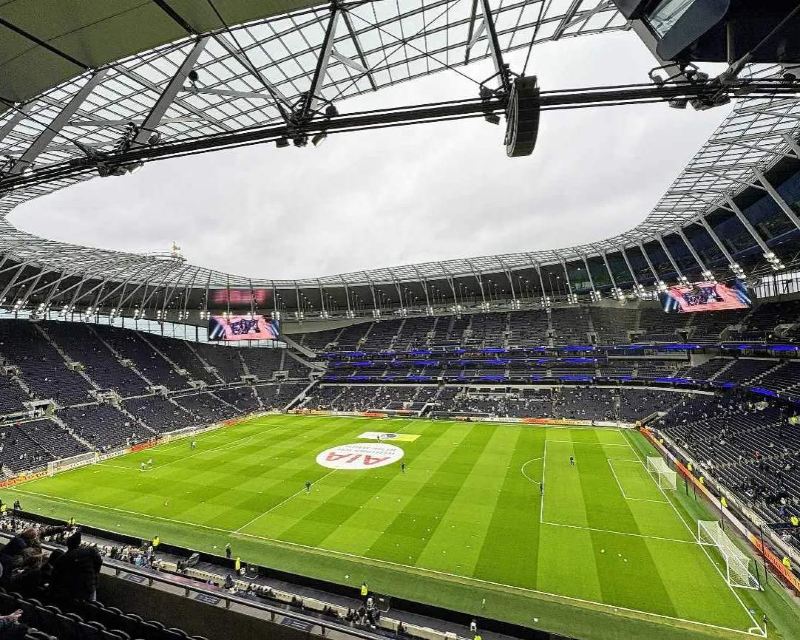
- Getting the train to Tottenham Hotspur Stadium | Stations & RoutesPublished: October 15, 2026
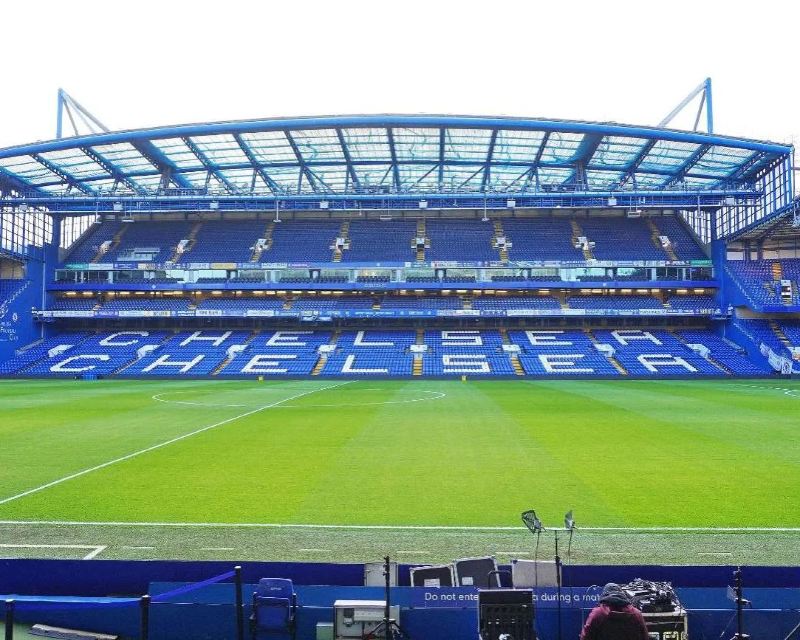
- Travelling by train to Stamford Bridge | Stations & RoutesUpdated: October 15, 2026
- Getting the train to Thorpe Park | Stations, Routes & FAQsPublished: October 15, 2026
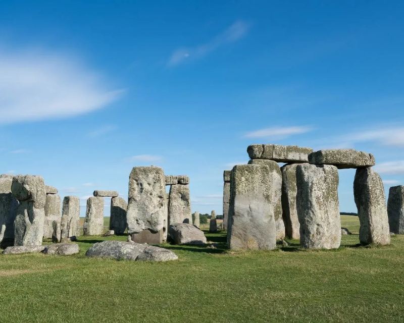
- Getting the train to Stonehenge | Stations, Routes & FAQsPublished: October 15, 2026
- Getting the train to Snowdonia | Stations, Routes & FAQsPublished: October 15, 2026
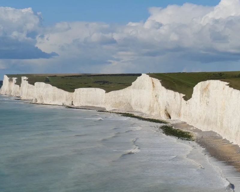
- Trains to Seven SistersPublished: October 14, 2026
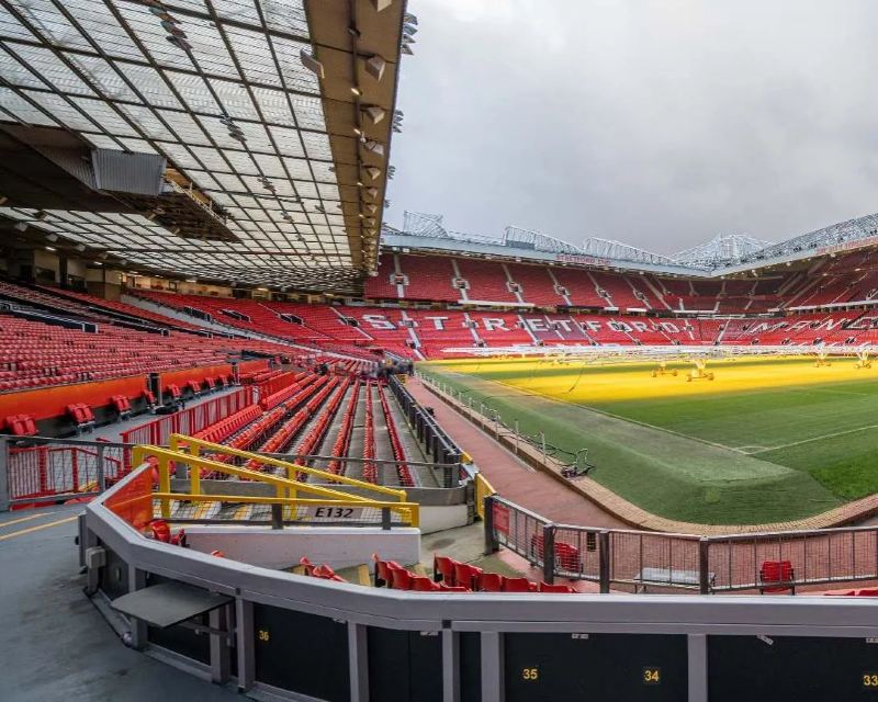
- Getting the train to Old Trafford | Stations & RoutesPublished: October 14, 2026
- Getting the train to Legoland Windsor | Stations, Routes & FAQsPublished: October 14, 2026
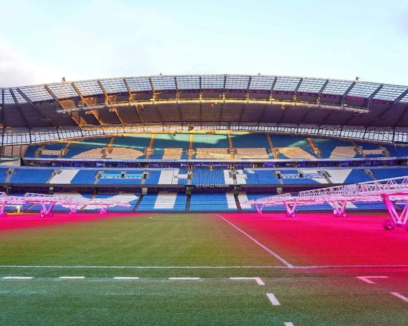
- Getting the train to the Etihad Stadium | Stations & RoutesPublished: October 14, 2026
- York weekend break by train: The ultimate itinerary and best hotelsPublished: October 13, 2026
- Manchester city break: best hotels & a 2-day train itineraryPublished: October 13, 2026