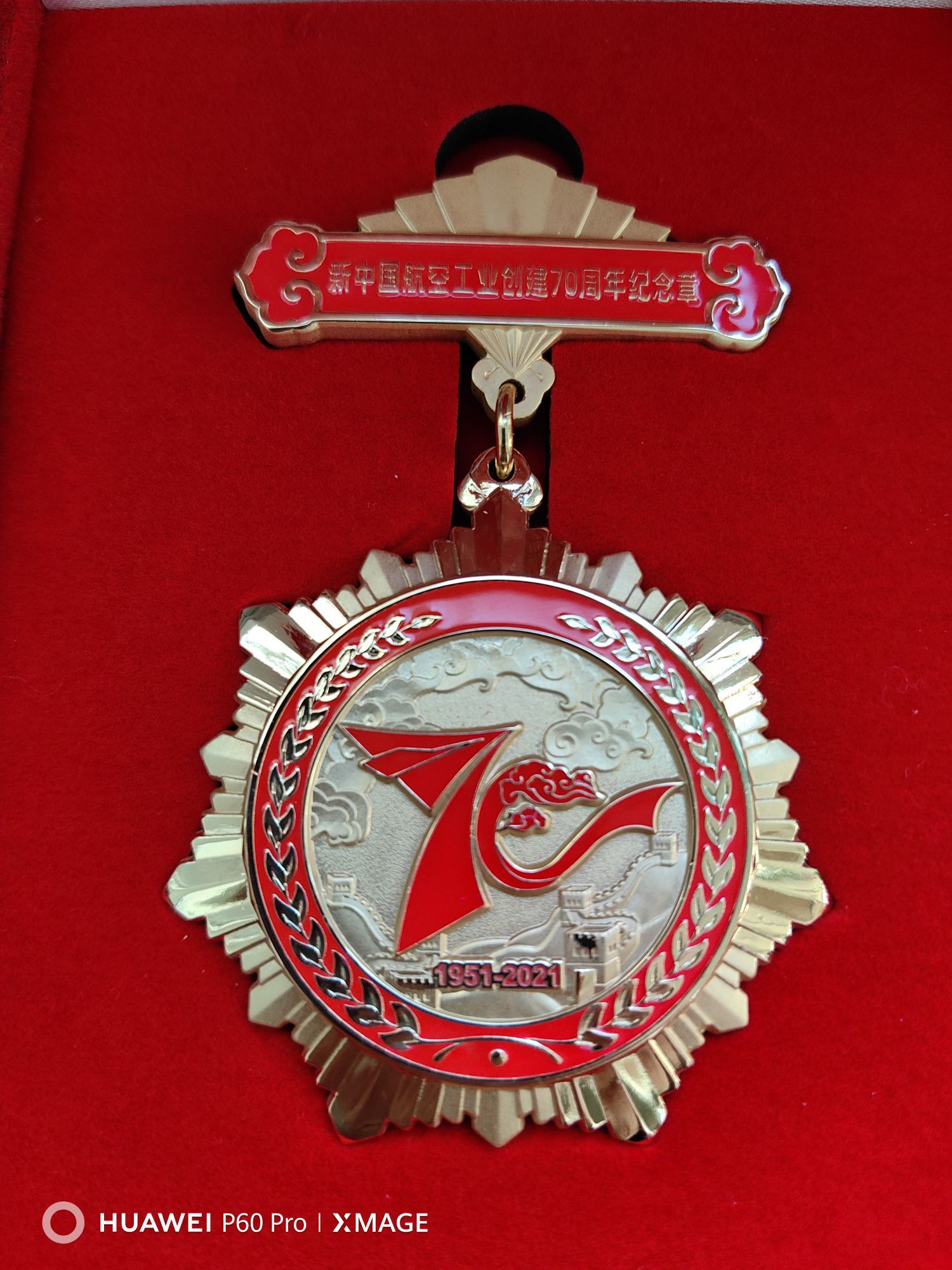
4/5
三关口是当年蒙古骑兵进入贺兰山区的主要通道之一,明朝在这里修建了边墙和堡垒.现在这片地区是宁夏和内蒙的交界地,地势险要,长城遗址只剩下不高的几处,从远处看确实一夫当关。 吴立珍
吴立珍2
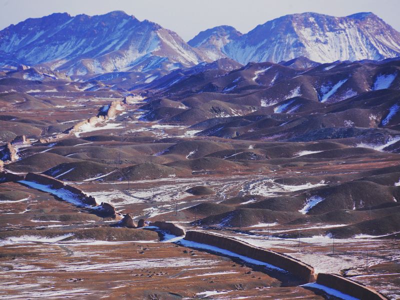
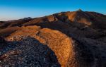
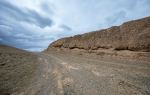
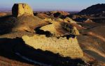
Sanguankou Ming Great Wall is the junction of Ningxia and Inner Mongolia Alxa Left Banner. The three passes are from east to west, with the first road card, the second road card and the three road cards, which are called three road cards by later generations. The mountains here are winding and winding, and the terrain is majestic and precipitous. A pass was built in the valley between the two mountains. Yinchuan is located in the northwest frontier of the motherland. The Mongolian Tatars and Oaras of the Ming Dynasty often entered the Chimukou of Helan Mountain from the Alxa Platform in Inner Mongolia, and drove directly to all parts of the plain. For the sake of border security, the rulers of the Ming Dynasty built the Great Wall (called the border wall in Ming Dynasty) to set up passes, making it one of the "four dangers" of ancient Yinchuan city defense. When the Great Wall was built, there was more sand and less soil here, so the soldiers cut through the cliffs and valleys to get loam soil in several places; and because there was no water, they built hundreds of water trucks to get water from Pingji Fort, which is more than 20 kilometers away from the pass, and mixed it with loam and gravel. Mixed and rammed together, it is very strong.
吴立珍